
|
|

Historical Highway MarkersGloucester PointNA-9
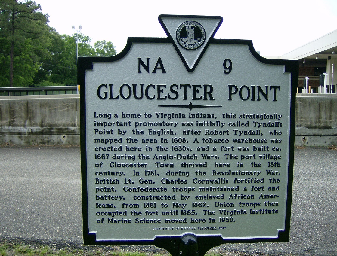
Long a home to Virginia Indians, this strategically important promontory was initially called Tyndall's Point by the English, after Robert Tyndall, who mapped the area in 1608. A tobacco warehouse was erected here in the 1630s, and a fort was built ca. 1667 during the Anglo-Dutch Wars. The port village of Gloucester Town thrived here in the 18th century. In 1781, during the Revolutionary War, British Lt. Gen. Charles Cornwallis fortified the point. Confederate troops maintained a fort and battery, constructed by enslaved African Americans, from 1861 to May 1862. Union troops then occupied the fort until 1865. The Virginia Institute of Marine Science moved here in 1950.
Department of Historic Resources, 2017 See a problem? Report it to HighwayMarkers@dhr.virginia.gov. |
DHR could use your help! We don't have a recent image of this marker. If you have one that you'd like to submit for inclusion on this site, please send it to HighwayMarkers@dhr.virginia.gov. |